


A project to “reveal the history and heritage of one of the country’s most significant historical landscapes” has been announced by Historic England.
The organisation has awarded a £136,356 grant to charities York Archaeology and the Yorkshire Wildlife Trust (YWT), for a project in the Yorkshire Wolds, involving people who would “not normally be involved in heritage projects”.
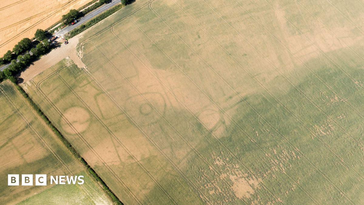
A 68 sq mile (176 sq km) area of the Wolds was being mapped by Historic England, it said, with new landscapes from prehistoric times to World War Two discovered.
The chalk upland’s “unique geography makes this a nationally important wildlife-rich area”, said Jon Traill, from YWT.
The area, which includes parts of the East Riding of Yorkshire and North Yorkshire, includes some of the most northerly chalk stream in Europe, which hosts species including water voles and puffins.
The mapping archaeology includes thousands of aerial photographs, drone laser surveys, geophysics and earthwork surveys, Historic England said.
Traill, YWT’s Living Landscapes Manager for East Yorkshire, said the charity would run workshops teaching people “to spot the Wolds’ special wildlife, from birds to botany, and survey rare and locally-important features like chalk streams and dew ponds”.
Mary-Anne Slater from York Archaeology said the project would “bring the story of this unique landscape to life”.
“Archaeology is the study of people and their interactions with the environment, but the full story of the Yorkshire Wolds involves far more than the marks left behind by humans.”