


The Met Office has issued a warning
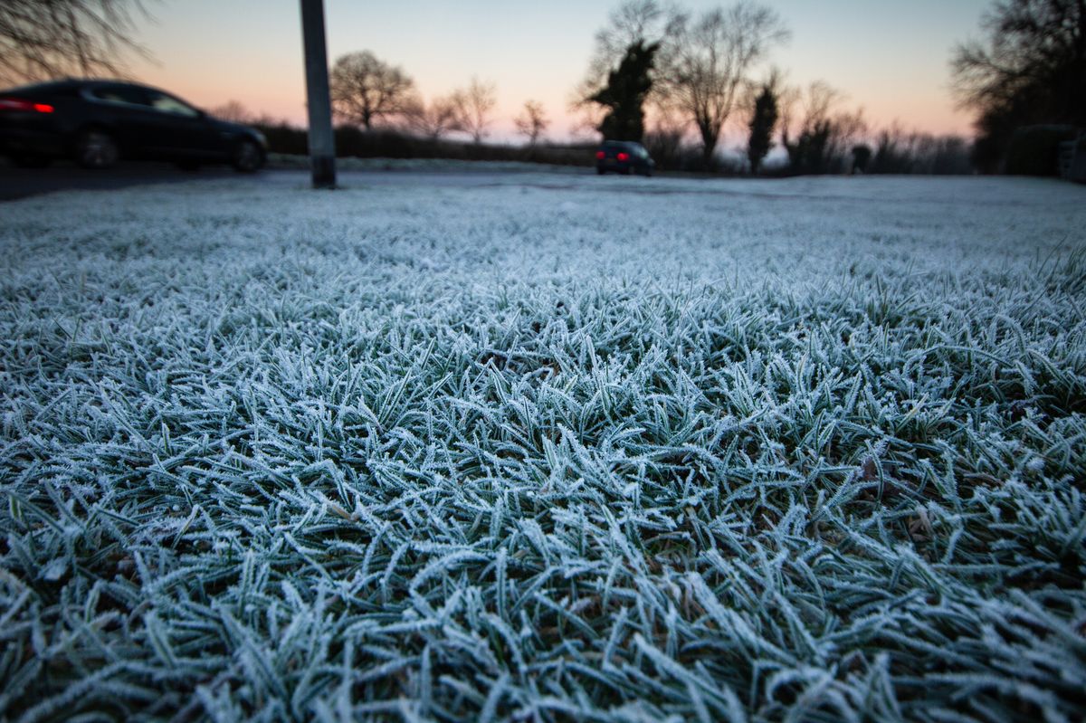
Frost is forecast(Image: Getty Images)
Forecasters are warning of an ice risk in East Yorkshire with temperatures set to dip following a day of heavy rain. Storm Chandra has brought strong winds and downpours to the region leading to standing water in many places.
However, the wet and windy weather is expected to move away this evening and overnight leading to clear spells with temperatures dipping to around freezing point. Frost and icy stretches are likely on untreated surfaces with patchy fog or freezing fog also possible in some places.
The Met Office has issued a yellow-level warning covering the whole region saying ice on Wednesday morning “may lead to some disruption”. In its alert, the forecaster said: “Clearing skies Tuesday night will allow temperatures to fall below freezing soon after midnight and on Wednesday morning.
“After the recent wet weather, icy patches are likely to develop on some untreated surfaces.” The alert will come into effect at midnight and be in place until 10am.
Wednesday will be a much calmer day with mainly dry conditions but “often cloudy”. Any early fog may be slow to clear where it forms and could linger all day in some areas. Temperatures will climb to around 7C.
It will stay unsettled throughout the rest of the week and into the weekend with some brighter spells interspersed with showers and longer spells of rain. High temperatures will hover between 5 and 8C in the daytime.
Do you feel safe on the roads? You can have your say by completing the poll below or by clicking here.