

Though wintry showers are forecast over the weekend, Saturday is set to be a brighter day than we’ve seen lately

The Met Office radar forecast for the early hours of Sunday(Image: Met Office)
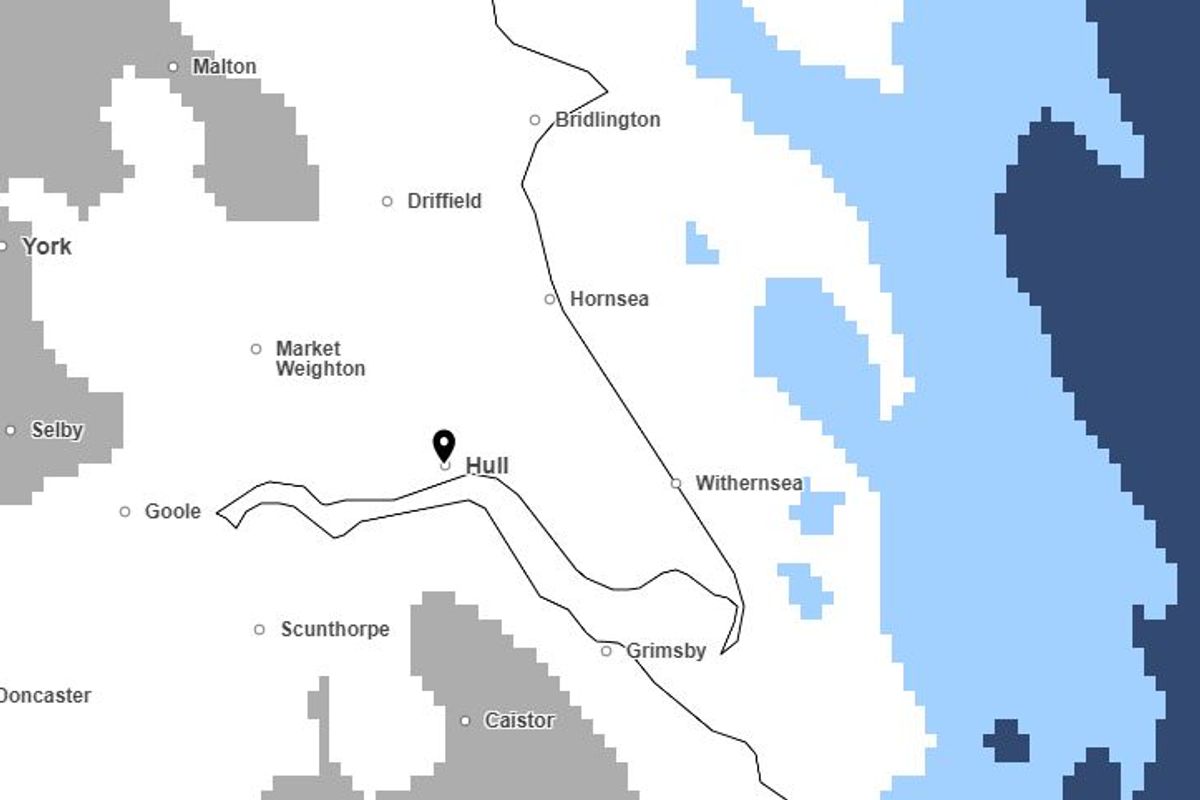
New weather warnings have been issued for East Yorkshire as Arctic air brings a risk of sleet, snow and ice over the weekend. The Met Office says wintry showers could affect parts of the region with a risk of “difficult travel conditions in places”.
In the first of two yellow-level warnings affecting our region, the forecaster said: “Showers of snow and hail on Friday afternoon, evening and overnight may lead to accumulations of 1 to 3 cm in places, though some areas will miss these.
“Sleet is more likely along some coasts, leading to ice on untreated surfaces as temperatures fall below freezing overnight. Wintry showers will mostly die out by Saturday morning.”
The warning, which includes Hull, Beverley, Hornsea, Withernsea, Bridlington and Driffield, came into effect at 4pm today and will run until 10am on Saturday. Temperatures are expected to dip below freezing quite widely around the region tonight.
In its forecast, the Met Office says overnight wintry showers will “mainly affect coastal districts” though it will become “largely dry with clear skies” in the early hours with “a widespread frost and icy stretches”.
After a cold and frosty start on Saturday, a drier and brighter day is forecast with “long sunny spells”. However, further rain, snow and strong winds are forecast overnight into Sunday.
The second weather warning, also for snow and ice, covers parts of East Yorkshire including the Wolds and some coastal areas including Bridlington. It will be in place between 9pm on Saturday and 10am on Sunday.
This states that snow which could be “heavy at times, may cause some disruption to travel, especially over high ground during Saturday night and Sunday morning”. Met Office Chief Forecaster, Rebekah Hicks, said: “Snow is likely ahead of the rain across northern England and Scotland and could reach lower levels at times Saturday night into Sunday. The snow will gradually turn to rain as the front moves east across the country on Sunday.
“The rain may be heavy at times and it will be windy in coastal areas. Additional warnings may be required. We encourage the public to keep up to date with the latest forecasts and any warnings that may be issued.”
Though starting out with temperatures at or near freezing, Sunday will see highs of around 6C later on in the afternoon.
Did you know you can make Hull Live a preferred source of Hull news in Google, which will mean you get more of our breaking news, exclusives, and must-read stories straight away? Here’s more information about what this means and how to do it – you can also do it straight away by clicking here .