


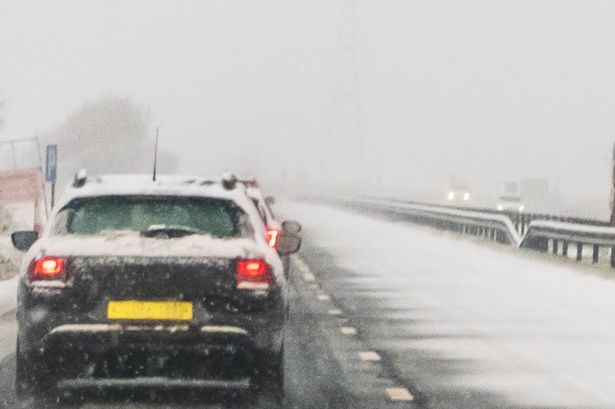
A very chilly few days are forecast with it set to feel even colder in strong Arctic winds
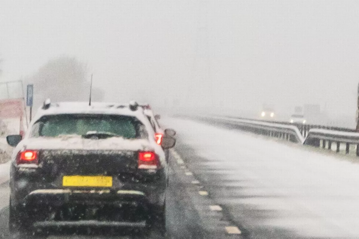
A second weather warning has been issued in East Yorkshire for snow and ice that has the “potential to cause disruption to travel”. The new yellow-level Met Office alert, which will be in place for 12 hours on Monday, follows a similar warning that will come into force for 24 hours from midnight tonight.
The forecaster says “frequent heavy snow showers” are expected to move in from the North Sea affecting coastal areas in our region, as well as some rural locations further inland. The area for the first warning, which will be in effect from midnight on Saturday until midnight on Sunday, includes the whole East Yorkshire coast and some other parts of the area including Driffield.
The second warning, which will be in effect from 3am on Monday until 3pm the same day, covers most of the same area, including Withernsea, Hornsea, Driffield and Bridlington, albeit not going quite as far inland as Saturday’s alert. In the warning for Monday, the Met Office says: “Snow showers are expected to move inland from the North Sea in the early hours of Monday, becoming frequent and perhaps heavy at times, before easing by early afternoon.
“Around 1-3 cm of snow is likely to accumulate quite widely, with 5-8 cm possible in places, this most likely across the North York Moors. Icy patches are also likely to form.”
Meanwhile, Saturday’s warning says: “Snow showers are expected to spread further inland in the early hours of Saturday, becoming frequent and perhaps heavy at times. Around 1-3 cm of snow is likely to accumulate quite widely, with 5-8 cm possible in places, this most likely across the North York Moors.
“The snow showers will gradually become lighter and less frequent during Saturday evening, and move offshore overnight. Icy patches will also form, particularly during Saturday evening where roads have potentially been left wet from partially thawed snow during the daytime.”
An amber-level – the second highest – cold-health alert is currently in place across the whole region and has now been extended so is not expected to end until January 9. Met Office chief forecaster Neil Armstrong said: “With Arctic air now covering most of the UK very cold weather will continue through the weekend, with minus double figures overnight in places and daytime temperatures struggling to rise above 0C for some.
“It looks like this cold spell could last well into next week and wintry hazards will continue with more weather warnings likely. It is therefore important people keep up to date with the latest forecast and warnings and plan ahead.”
Though it is expected to be mostly sunny over the next few days, except at times and in places when and where any snow showers fall, temperatures will be bitterly cold, exacerbated by brisk winds. Daytime high temperatures in East Yorkshire are expected to be between 1 and 5C from today until at least the end of next week, with overnight lows dropping to -4 or -5C in some places and will widely be below freezing.
Meanwhile, in the strong winds, ‘feel-like’ temperatures are forecast to dip to around -9 or -10C during the nights and not be much higher during daylight hours.