


2026 is set to get off to a bitterly cold start with temperatures falling ‘well below average’ at times
The UK Health Security Agency (UKHSA) has raised the severity of its cold health alert across Hull and East Yorkshire with “well below average” temperatures forecast over the coming days. Meanwhile, the Met Office has issued a 24-hour weather warning for snow and ice in eastern and northern parts of our region this weekend.
The UKHSA upgraded the previous yellow-level alert to amber on New Year’s Eve with temperatures set to plummet over the coming days. The amber alert, which is the second highest on the scale, calls for an “enhanced response” due to “a situation in which the expected impacts are likely to be felt across the whole health service”.
There is “potential for the whole population to be at risk and where other sectors apart from health may also start to observe impacts, indicating that a coordinated response is required”. The whole of England is now under an amber cold weather alert which came into effect at 8pm on December 31 and is currently scheduled to be in place until 10am on Tuesday, January 6.
The chilly weather forecast is “likely to cause significant impacts across health and social care services”, the UKHSA says in its warning. Temperatures around East Yorkshire will fall further from Friday with daytime highs of between 1 and 2C every day until Tuesday and overnight lows falling to -4 or -5C in places, potentially even lower in rural areas.
It will seem even colder in a brisk northerly breeze too with ‘feel-like’ temperatures plummeting to around -8 or -9C quite widely during the early hours on Saturday, Sunday and Monday. Aside from the risk of wintry showers, it should be mostly sunny throughout this period though with the clear spells bringing widespread frosts during the nights.
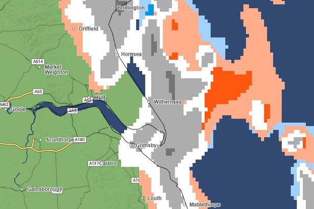
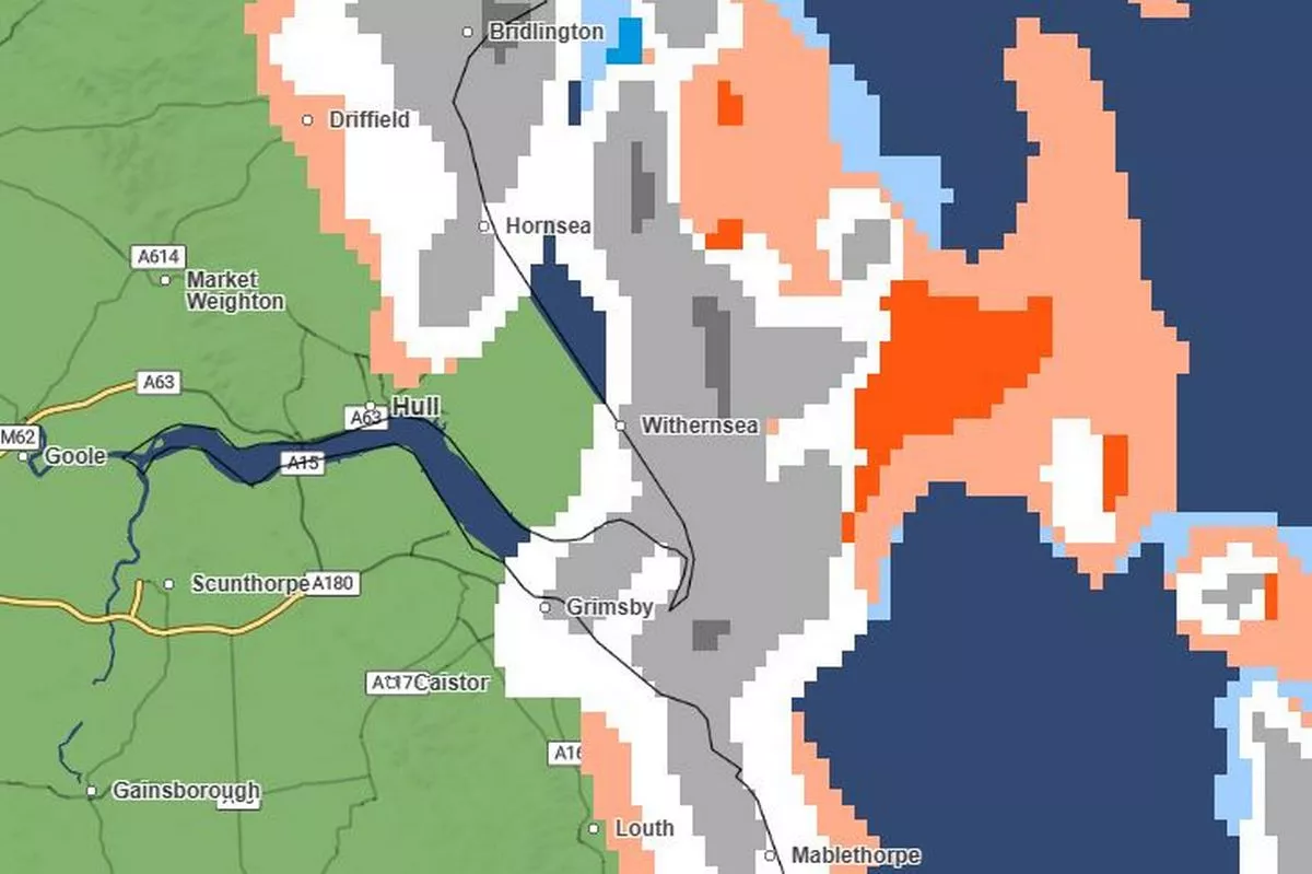
Meanwhile, a 24-hour snow and ice warning has been issued for parts of our region. The yellow-level alert, which will be in effect for all of Saturday, warns of “frequent heavy snow showers moving in from the coast” which “may bring disruption to travel”.
Locations included in the warning area include Withernsea, Hornsea, Bridlington and Driffield.
In its warning, the Met Office says: “Snow showers are expected to spread further inland in the early hours of Saturday, becoming frequent and perhaps heavy at times. Around 1-3 cm of snow is likely to accumulate quite widely, with 5-8 cm possible in places, this most likely across the North York Moors.
“The snow showers will gradually become lighter and less frequent during Saturday evening, and move offshore overnight. Icy patches will also form, particularly during Saturday evening where roads have potentially been left wet from partially thawed snow during the daytime.”
Met Office chief meteorologist Jason Kelly said: “We’re entering a much colder period with Arctic air sinking south to cover the whole country by Friday. Temperatures will fall well below average, with snow showers and snow accumulations likely, particularly in northern and some central areas. There is also a risk of widespread ice.
“Very cold temperatures will continue through Saturday and Sunday, with minus double figures overnight and daytime temperatures not rising above 0C for many areas.
“Wintry hazards will continue, with more severe weather warnings possible. It looks like this cold spell could last well into next week, so it is important people keep up to date with the latest forecast and warnings and plan ahead.”