
A ‘danger to life’ warning has been issued while power cuts are possible
The Met Office is urging residents in 32 areas to consider preparing an “emergency” kit for a 24-hour period next week.
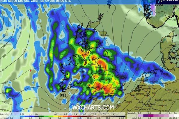
The national weather agency has issued a new yellow warning for rain, in force from 6pm on Monday until 6pm on Tuesday. Parts of Wales and south-west England could see as much as 100mm of rainfall.
The warning indicates that flooding may lead to road closures and cancellations to train and bus services. There is also a “small chance” that rural communities could be cut off.
The warning adds that buildings and businesses face the risk of flood damage. There is also a minor risk that fast-flowing floodwater could pose a “danger to life”. Power cuts are also possible, reports the Mirror.
The Met Office stated: “There will naturally be some variation in rainfall totals across the area, but accumulations of 20-40 mm are likely in quite a few places, with 60-80 mm over Dartmoor and high ground in south Wales.
“There is a small chance of 80-100 mm falling over the most exposed, prone hills. Given the saturated nature of the ground, this is likely to lead to some flooding in places and transport disruption.”
The warning also suggests that people living in flood-prone areas may wish to consider preparing an emergency flood kit. It adds: “Give yourself the best chance of avoiding delays by checking road conditions if driving, or bus and train timetables, amending your travel plans if necessary.
“People cope better with power cuts when they have prepared for them in advance. It’s easy to do; consider gathering torches and batteries, a mobile phone power pack and other essential items.”
Areas affected by the weather warning:
- Hampshire
- Bath and North East Somerset
- Bournemouth Christchurch and Poole
- Bristol
- Cornwall
- Devon
- Dorset
- Gloucestershire
- Isles of Scilly
- North Somerset
- Plymouth
- Somerset
- South Gloucestershire
- Torbay
- Wiltshire
- Blaenau Gwent
- Bridgend
- Caerphilly
- Cardiff
- Carmarthenshire
- Ceredigion
- Merthyr Tydfil
- Monmouthshire
- Neath Port Talbot
- Newport
- Pembrokeshire
- Powys
- Rhondda Cynon Taf
- Swansea
- Torfaen
- Vale of Glamorgan
- Herefordshire
The Met Office has hinted at the possibility of snow later in December. Its forecast for December 10 to 19 reads: “A short spell of mainly settled weather is expected for the first couple of days of this period, with any rain or showers in the far north or west, and the rest of the UK mainly dry. Thereafter, low pressure systems will tend to dominate, bringing showers or longer spells of rain to much of the UK.
“Some heavy rain or showers are expected, with the wettest conditions overall in the west of the UK. Snow will probably be confined to high ground in the north. Periods of strong wind are possible, especially around coasts and if any deep areas of low pressure form in the vicinity of the UK. Temperatures will likely be close to average or slightly above.”