
The latest named storm of the season is on the way bringing strong winds and heavy rain
Storm Bram has been named with wet and windy weather set to sweep across the country this week though Hull and East Yorkshire look set to escape the worst of the severe weather. The latest band of rainfall comes as a number of flood alerts remain in place in parts of the region.
The Environment Agency says more rain overnight into Tuesday could lead to another rise in levels at Holderness Drain, including in the Leven and Bransholme areas, as well as low-lying land and roads near the River Foulness and the Market Weighton Canal, and in places near rivers around Stamford Bridge, Pocklington, Wressle and Wilberfoss.
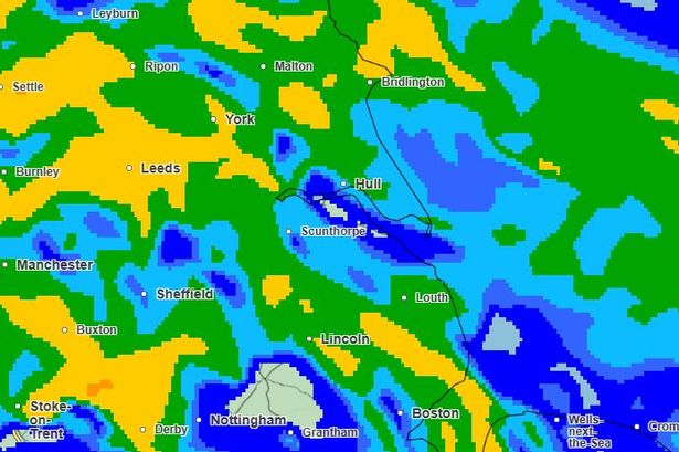
Heavy rain is forecast to arrive in our region in the early hours of Tuesday before mostly clearing by mid-morning. Winds will pick up through the day with gusts possibly in excess of 40mph at times. The strong south-westerly winds will bring “exceptionally mild” temperatures for the time of year with highs of around 15C though it’ll feel cooler in the breeze.
Though a number of weather warnings are in place in parts of the UK, they are largely confined to western areas where the most significant impacts are expected as the storm strengthens. Met Office chief forecaster Dan Suri said: “Storm Bram will bring a very wet and windy spell of weather, with very strong winds and further heavy rain which falling over saturated ground, could cause flooding impacts. Within the Amber wind warning over northwest Scotland, gusts of up to 90 mph could be recorded. More widely, gusts of 50-60 mph, and perhaps 70 mph in a few spots, are expected across Wales, southwest England and Northern Ireland.
“Rain is an additional impact from Storm Bram, with the possibility of 100mm over higher ground in the south of Wales and parts of Devon. This could require escalations to existing warnings, so it’s important to stay up to date with the forecast in your area, as well as any flood warnings from your local environment agency.”
Over the rest of the week, temperatures will dip closer to average for the time of year with another windy day expected on Wednesday though drier and brighter on Thursday.
Forecast for Hull and East Yorkshire
Tuesday
A wet and windy night but rain turning lighter and patchier later in the morning. It should be clearer heading into the evening. High: 15C Low: 8C
Wednesday
A breezy and drier day with some sunshine throughout the day. Staying quite windy with some blustery spells. High: 11C Low: 6C
Thursday
A mostly dry day with sunny spells and winds easing. High: 10C Low: 7C